Challenges
Hike & Trailrun
Hiking or trail running on the slopes of Mont Ventoux is an experience you won’t forget in a hurry. On foot, you’ll make your way along narrow paths, through fragrant pine forests and across rugged limestone slopes, with the bare summit of the Giant of Provence always in view. Walk at your own pace or cover the route at a brisk pace: every step brings you closer to nature and closer to your own limits.
Which challenge will you choose?
Hiking and walking on the slopes of Mont Ventoux is not only incredibly beautiful, but always challenging too. As well as the inevitable kilometres of climbing and long descents, there are also varying terrains, ranging from easy forest paths to very rugged, rocky ground with loose and fixed stones. A good level of fitness, sturdy shoes and walking poles are essential! Expect to walk at a pace of no more than three kilometres per hour. That is why the longest route, which also takes you to the summit, is reserved exclusively for trail runners.
Translated with DeepL.com (free version)
The various walks are not marked out anywhere. Instead, participants are sent the GPX files by email a few days before the event. In addition, the organisers also offer the 30km hike led by two walking guides, with one faster and one slower group.
HIKE & TRAILRUN | 16KM
Experience the Ventoux at your own pace, whether walking or running. The route takes you through shady woods and past clearings with views of the rolling Provençal hills. Refreshments are available at the 5.5 km and 9.7 km marks.
Via .GPX or with a guide. Trail run: via .GPX.
HIKE & TRAILRUN | 30KM
A challenging trek in the heart of the Giant of Provence, whether you tackle it on foot or by running. The landscape changes constantly, from green forests to rugged mountain slopes, and at Chalet Liotard a well-deserved break awaits you, surrounded by nature. Refreshments are available at 5.5 km, 14.5 km (Chalet Liotard) and 20.6 km.
Via .GPX or with a guide. Trail run: via .GPX.
TRAILRUN | 37KM
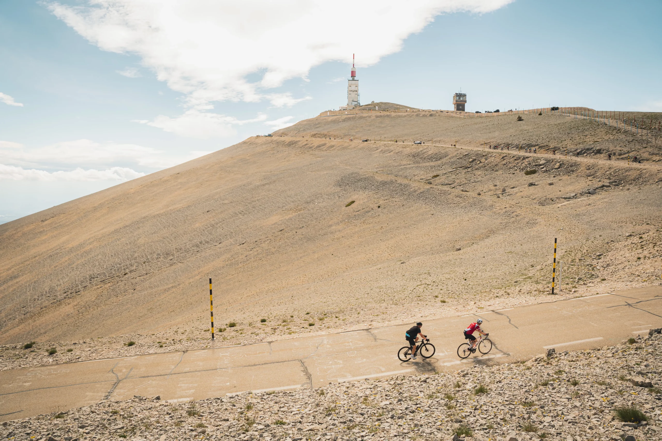
For those who want to go higher. You walk uphill through the woods until you reach the tree line, into the barren, white, moon-like landscape of the summit. On a clear day, the whole of Provence lies at your feet, sometimes stretching as far as the Alps. This is followed by a technical descent that your legs won’t forget in a hurry. Refreshments are available at km 5.5, km 14.5 (Chalet Liotard) and km 29.5.
Exclusively via .GPX.
NOT YOUR AVERAGE RIDE
The gravel challenge lies not only in the elevation changes, both uphill and downhill, but also in the very unique surface.
The vast majority of the route runs over beautiful small agricultural roads, which were once paved, but over time acquired a true gravel character with irregularities in the road surface and covered with pebbles and grit. As a result, these roads are no longer suitable for road bikes but are ideal for gravel riding.
Additionally, the route runs over classic unpaved forest roads, but there are also several sections with cobblestones and rocks, typical of the Ventoux region. These sections demand good, sturdy, and wide tires, especially for some very beautiful but rocky descents. There’s nothing more annoying than repeatedly getting a flat tire. Riding with classic Low Countries gravel tires is therefore strongly discouraged: that’s asking for trouble. We suggest 45-50mm wide tires with reinforced sidewalls and sufficient lateral grip.
BEFORE YOU RIDE
ROUTE & GPX
Route & GPX
The indicated distances are good guidelines but may be adjusted due to circumstances. Participants will receive the GPX files a few days before the event. The route will not be marked and can only be ridden using GPX.
BIKE & EQUIPMENT
Bike & equipment
Participants are responsible for the good condition of their gravel bike. The sometimes very rugged terrain places demands on both the rider and the bike. The route is specifically designed for gravel bikes and not for MTBs, but the bike and its tires must be prepared for rocky descents and sharp stones.
TECHNICAL SUPPORT
Technical support
Technical assistance is provided at the aid stations along the way, not in between.